Point Cloud to CAD Conversion UK
Point cloud to CAD conversion and LiDAR data to CAD drawings for UK survey and geomatics firms.
What you get
Laser scan and LiDAR data turned into topographical and elevation drawings in your CAD standards.
Time-zone advantage: send data at close of business, receive drawings for the next morning.
- Topo from scan data
- Elevation & façade drawings
- Street-scene extraction
- UAV LiDAR processing
- Registered cloud QA checks
- RCP / E57 workflows
Point Cloud to CAD — search terms we cover
Primary
Buyer intent
Cities
More UK survey drafting services
Available across UK
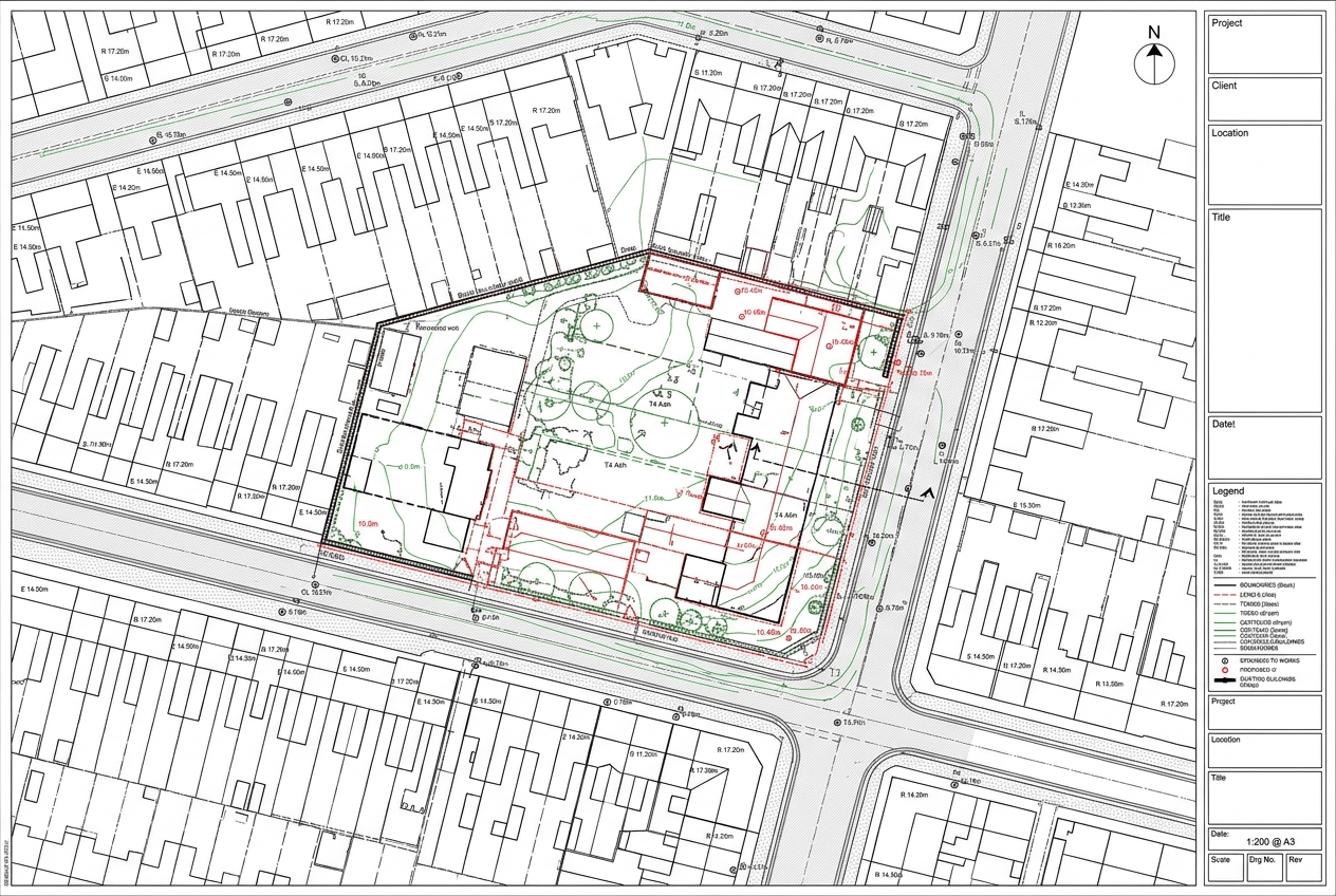
Topographical Survey for a London Infill Site
Drawings issued for checking within 48 hours, keeping the planning submission on programme.
Indicative rates in GBP
Time-zone advantage: send data at close of business, receive drawings for the next morning.
We invoice in USD and serve clients across time zones. Local-currency figures are approximate, based on an indicative exchange rate, and shown for guidance only.
$20–$30 USD/hr
≈ £16–£24 GBP/hr
$75–$150 USD/drawing
≈ £59–£119 GBP/drawing
Start your point cloud to cad project
Send a sample job — we’ll return a quote within 2 hours.