-
 Land Survey CADContact US
Drafting ServicesClick Here For More InfoQuick ContactPhone: (+1) 786-673-2523Mail: sg@landdrafters.com
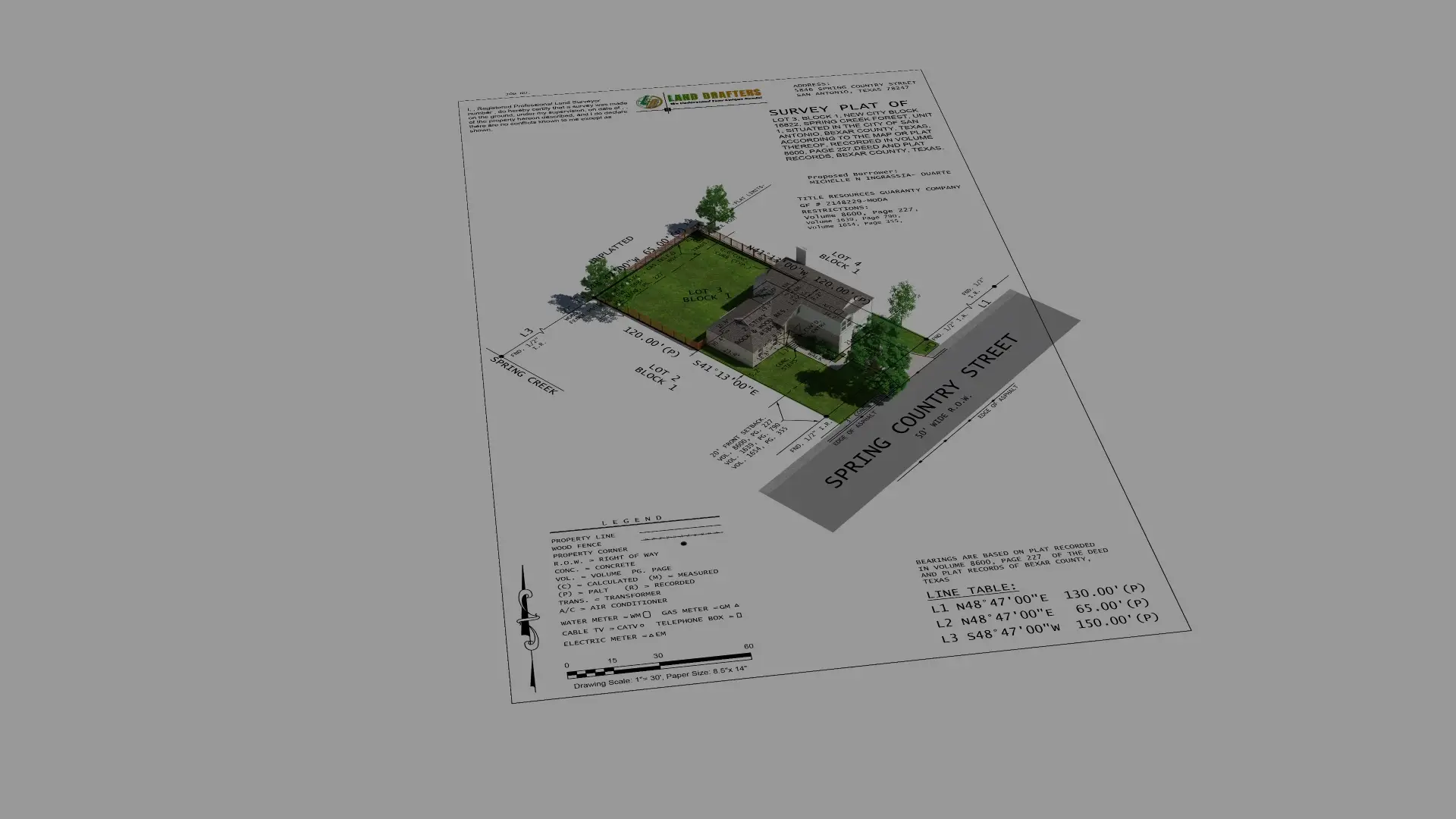
The land surveying cad drafting services offered by Land Drafters LLC specifically provide accurate and efficient solutions for commercial and residential project development. We guarantee optimal project precision alongside full compliance with industry requirements and specialized expertise for each undertaking.
We offer land surveying cad drafting services in addition to site mapping solutions that match your individual requirements for developers and construction experts and residential property owners. Our company offers multiple land surveying cad drafting services which prevent legal conflicts and deliver precise property measurements and enable successful project completion.

The company Land Drafters LLC specializes in delivering professional land surveying cad drafting services and development services to guarantee measurements match industry requirements. Our land survey drafting company provides high-quality surveying solutions for residential, commercial and industrial projects because our team has many years of experienced working on all types of projects.
Importance of Accurate Land Surveying CAD Drafting
Assists in determination of property owners or occupant’s rights and limits with regard to the property.
Ensures that the zoning of land and physical development is in a legal way.
Helps to avoid mistakes that are associated with land-related complications.
Assists in effective site planning and infrastructure development.
Business Sectors We Cover
Property boundary verification and dispute resolution.
Accurate site measurements for safe and compliant development.
Particularly useful in construction of standard infrastructures such as bridges and highways.
Includes supporting structures, zoning, land planning as well as other forms of public infrastructure.
The organization delivers customized land survey CAD drafting services and site mapping solutions that serve each type of construction development requirement from housing to industrial sites. The precise and correct land survey cad drafting services available promotes well-informed decision making.
Establishes boundaries and demarcations of a piece of land based on legal as well as the use of the subdividing survey.
Documents actual on-site constructions and improvements to ensure conformity with the constructed plan.
Used in planning the development of Infrastructures, drainages and possible use of the land.
Identify gridded underground and overhead utility paths so as not to interfere with development.
Required for property transactions and mortgage approvals.
Ensures compliance with title insurance and property transactions for land survey CAD drafting services
Helps in determination of tree locations for environmental and landscape planning.
Establish the legal limits of a given property to reduce cases of boundary disputes.
Gives accurate data of the mineral deposits for easy mining and physical planning.
Helps in obtaining the geographical and altitude details that are required in construction and civil engineering.
Our surveying solutions are designed to streamline land development, mitigate risks, and improve project efficiency.
When developing land projects, it becomes necessary to select who ensures both correct measurements and regulatory compliance. The distinction of Land Drafters LLC stems from their dedication to providing precise professional land survey CAD drafting services that meet the highest standards of efficiency alongside full customer contentment.
We use cutting-edge technology to outsource land surveying cad drafting services
Our team offers professional guidance and responsive customer service.
Our land survey CAD drafting services are detailed, clear, and tailored to client needs.
We provide competitive pricing without compromising on quality.
Our experience spans multiple industries, ensuring relevant solutions.
We prioritize your goals, making sure every project is handled with care and precision.

At Land Drafters LLC, we follow a structured and efficient land survey CAD drafting services process to ensure every project is completed with accuracy and professionalism.
 Step 1: Consultation & Project Assessment
  Step 2: Research & Data Collection
  Step 3: Field Surveying & Measurements
 Step 4: Drafting & Report Preparation
 Step 5: Final Delivery & Client Review
 Our established survey process produces high efficiency and strong accuracy while following all necessary compliance requirements in each project while outsourcing Land Survey CAD Drafting Services.
We serve various industries through accurate surveying solutions which help developers and lawyers as well as infrastructure builders in their operations.
Ensures accurate boundary delineation, property division, and compliance with zoning laws.
Provides essential site measurements, elevation data, and structural planning for roads, bridges, and buildings.
Assists with site planning, drainage systems, and land grading for optimized project execution.
Supports urban planning, zoning enforcement, and public infrastructure projects.
Provides essential land analysis for resource extraction, environmental conservation, and sustainable development.
With our expertise in land survey CAD drafting services and development services, we help businesses and individuals achieve their land-related objectives with confidence and precision.